


Why focus on large landslides? While all slope movements pose risks, mega-landslides—with runouts spanning kilometers, affecting hundreds of square kilometers, and creating dangerous natural dams—can cascade into disasters far exceeding the initial slope failure. Since 2016, IRALL has trained over 9,000 doctoral students from over 20 countries through field-based courses in Sichuan’s Beichuan County, where the 2008 quake’s scars remain visible alongside China’s remarkable recovery achievements.
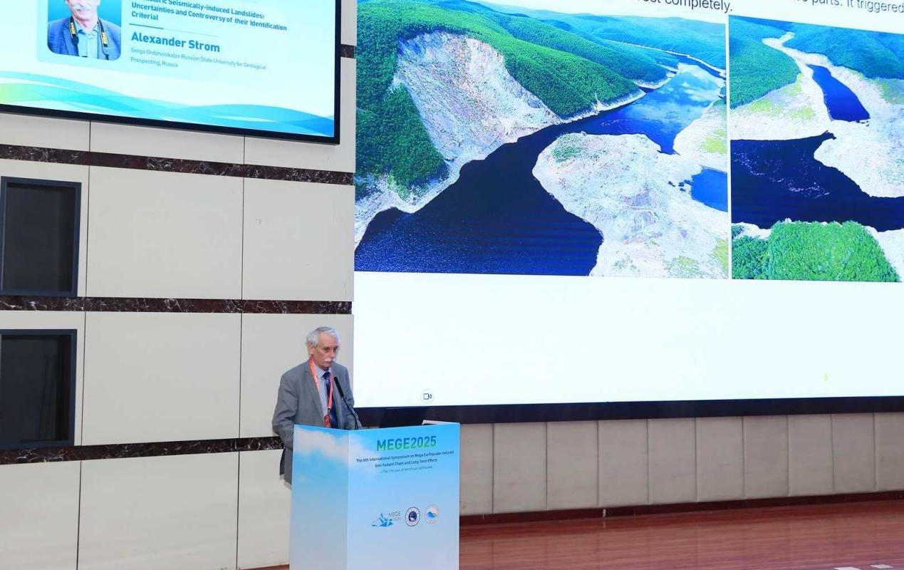
As we mark the 17th anniversary of the Wenchuan tragedy, China’s progress in disaster science offers critical lessons. Researchers here have made groundbreaking advances in understanding disaster chains—how one catastrophe triggers cascading hazards. A prime example is their recent work in the Yigong River valley, where SKLGP teams identified a high-risk slope 100 kilometers upstream from the site of the catastrophic 2000 river-damming event. Such proactive identification of latent threats exemplifies how China is shifting from reactive response to predictive governance. This scientific rigor forms the bedrock of what I call "preventive geodiplomacy." By sharing these methodologies globally, we can transform isolated national efforts into a unified early-warning network.


 京公網安備 11010202009201號